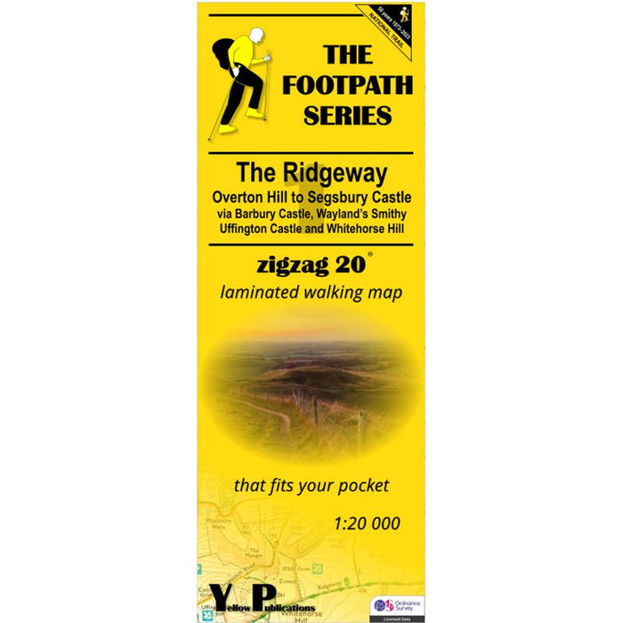
The Ridgeway Zigzag map - 1 - Overton Hill to Segsbury Castle
This easy-to-read Zigzag map of The Ridgeway covers the section from Overton Hill to Segsbury Castle, via Barbury Castle, Wayand's Smithy, Uffington Castle and Whitehorse Hill.
What is different about a Zigzag map?
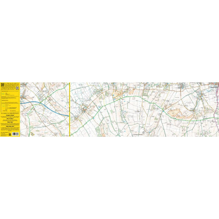
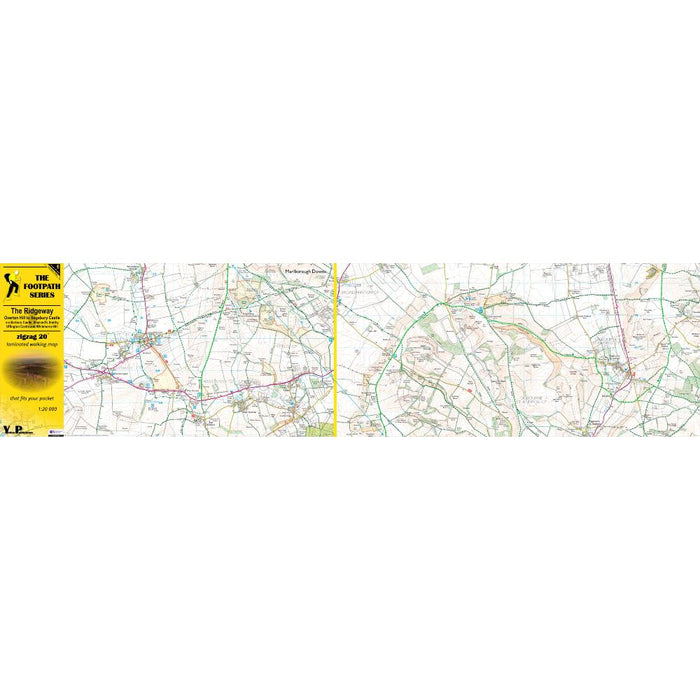
The main difference is the scale – although these maps use the ever-popular Ordnance Survey 1:25,000 scale mapping they show this mapping at a larger scale – 1:20,000. This makes them easier to use for everyone.
They are also laminated, so you can use them in the wet without fear of them disintegrating.
As their name suggests, Zigzag maps come in a concertina strip format. The maps are made for convenience; you need only unfold 2 panels at a time and then keep on flipping over to follow the path. Zigzag is laminated for weatherproofing and will still fit a pocket when folded.
Maps come with a useful scale ruler.
Map: Ordnance Survey Explorer
Format: Double-sided, laminated concertina strip map
Cover size: 10 x 27 cm
Map size: 100 x 26 cm (per side)