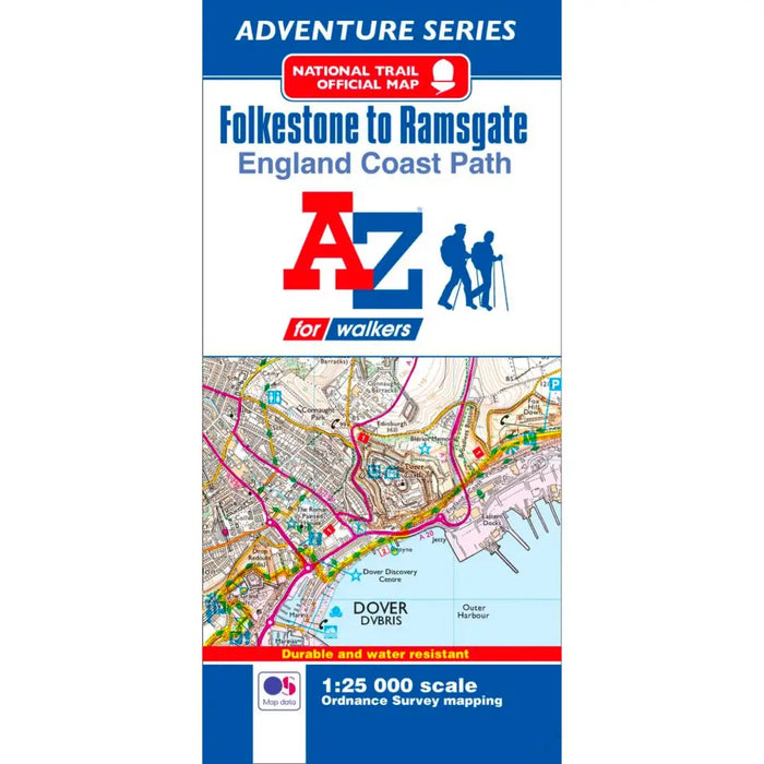
England Coast Path Folkestone to Ramsgate A-Z Adventure Map
This official Folkestone to Ramsgate Adventure Map covers a 36.5 mile (59 km) section of the England Coast Path.
Following the south east Kent coastline, the path features exhilarating cliff top sections along the iconic White Cliffs of Dover and a flat section from Deal, which goes on to sweep around the expanse of Pegwell Bay. Along the way there are nature reserves, conservation areas, historic landmarks and panoramic views of the English Channel throughout, with the chance to glimpse France on a clear day.
This water resistant sheet map is double sided with Ordnance Survey 1:25,000 mapping showing the new coastal access verge. The path is clearly highlighted in yellow with mileage markers to gauge distances when planning sections of the walk to enjoy. The map folds down to a handy DL size.
A useful gradient profile for the section of path is included along with a selection of QR codes linked to useful websites, including temporary route updates from the National Trails, travel information and weather reports.