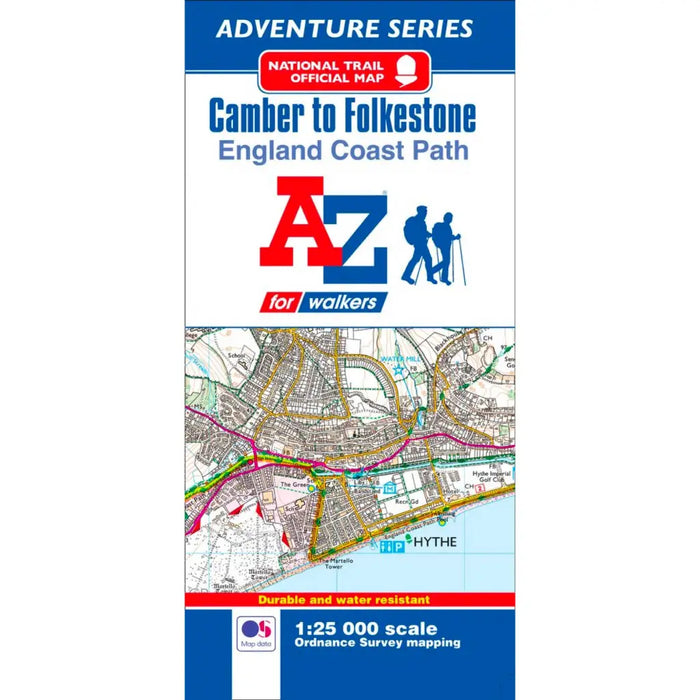
England Coast Path Camber to Folkestone A-Z Adventure Map
This official Camber to Folkestone Adventure Map covers a 29 mile (47 km) section of the England Coast
Beginning in East Sussex, the majority of the path, an easy going route across flat terrain, follows the southern Kent coastline. There are expansive views, sand and shingle beaches, unique habitats and heritage buildings, including Martello Towers, along the way. Coastal villages and towns provide the opportunity for refreshment.
This water resistant sheet map is double sided with Ordnance Survey 1:25,000 mapping showing the new coastal access verge. The path is clearly highlighted in yellow with mileage markers to gauge distances when planning sections of the walk to enjoy. The map folds down to a handy DL size.
A useful gradient profile for the section of path is included along with a selection of QR codes linked to useful websites, including temporary route updates from the National Trails, travel information and weather reports.