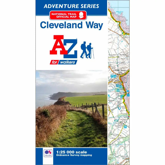
Cleveland Way A-Z Adventure Atlas
£ 8.95
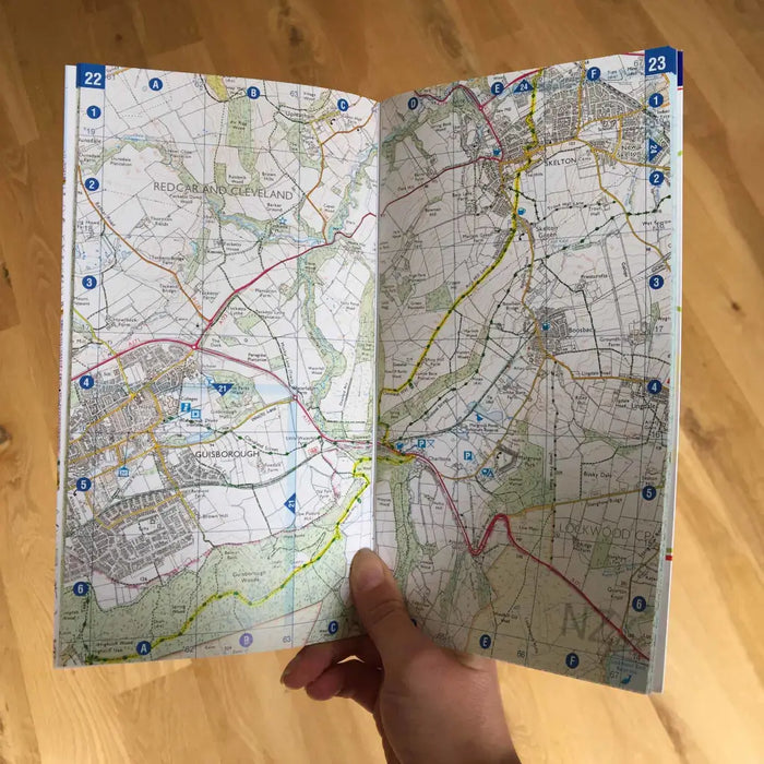
This official National Trail Map of the Cleveland Way features 39 pages of continuous Ordnance Survey 1:25000 mapping providing complete coverage of the Trail. The atlas includes a route planner showing distances between places and the amenities available, featuring:
- Information Centres
- Hotels/B&Bs
- Youth Hostels
- Campsites (seasonal opening)
- Public Houses
- Shops
- Restaurants
- Cafes (seasonal opening)
- Petrol Stations
Also featured is advice on safety and security when walking and a selection of QR codes linked to useful websites, including temporary route updates from the National Trails, regional information, map reading advice and weather reports.
Unlike the original OS sheets, this A-Z Adventure Atlas includes a comprehensive index to towns, villages, hamlets and locations, natural features, nature reserves, car parks and youth hostels, making it easy to find the required location quickly. Each index entry has a page reference and a six figure National Grid Reference. With a book size of 240mm x 134mm it is the same size as the standard OS folded map.